Lake Wylie Marine Commission
Lake Wylie Marine Commission in Charlotte, NC
Main Content
Protecting & Preserving Lake Wylie
for Future Generations
Lake Wylie Marine Commission
Learn More →
Who to Call →
Our Responsibilities
Preserve Lake Wylie
We promote public policies and regulations to protect and preserve Lake Wylie and its shoreline for future generations.Promote Safety
We collaborate with local & state law enforcement agencies to help inform our community about the laws & regulations that keep everyone safe while enjoying Lake Wylie.Protect the Environment
We interact with environmental protection organizations and industry to address conditions detrimental to the health of Lake Wylie and its wildlife.Interactive Map
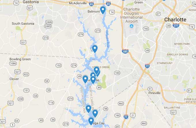
We've created an interactive map of Lake Wylie to help you successfully navigate the lake and enjoy your time on Lake Wylie.
This map offers layers that can be shown or hidden, depending on the information you need. Layers include: Public Access Areas, Public Marinas, Osprey Nesting Areas, Fish Attractors, Creeks and Coves, and Buoys.
Riversweep
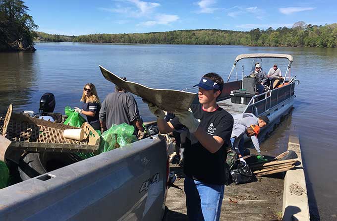
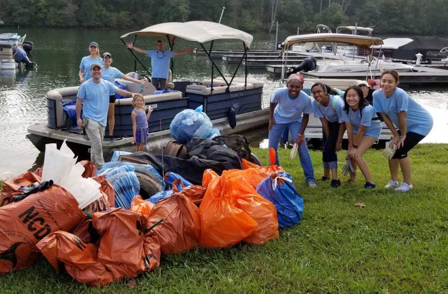
Each year, approx. 1,000 volunteers of all ages get together at various locations around Lake Wylie to collect and remove tons of trash from the Lake.
Join us in celebrating our 17th annual Riversweep event this year with our dedicated and loyal volunteers. This is a great opportunity for individuals, groups, and families to clean up the river and have a lot of fun.
Lake Wylie on Instagram
Share your pictures with us @lakewyliemc for a chance to be featured on our Instagram account!
Footer
Lake Wylie Marine Commission
Centralina Council of Governments
10735 David Taylor Dr, Ste 250
Charlotte, NC 28262
